

Getting Here
Driving Directions
Pulaski County is centrally located along Interstate 44 and Historic Route 66 just two hours west of St. Louis, one hour east of Springfield, one-hour southeast of Lake of the Ozarks, and 1.45 hours from Branson.
FLYING IN? FLY FORT LEONARD WOOD!
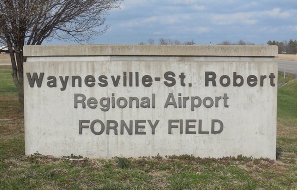
The closest airport is the Waynesville-St. Robert Regional Airport (TBN) at Fort Leonard Wood. The airport offers daily jet service from Contour Airlines to Dallas Fort Worth International Airport (DFW) seven times a week, and Nashville International Airport (BNA) five times a week. Other air travel options include the following:
- Springfield-Branson National Airport (SGF) — 1.5-hour drive
- St. Louis Lambert International Airport (STL) — 2.5-hour drive
- Kansas City International Airport (MCI) — 4-hour drive
Looking for a shuttle service? Area transportation services are available for scheduled pickup appointments, charter services special events, and trips.
Electric Vehicle Charging Stations
Driving thru or staying in Pulaski County? To located area EV stations visit the MODOT Charging Station Map, search for Pulaski County, MO.